
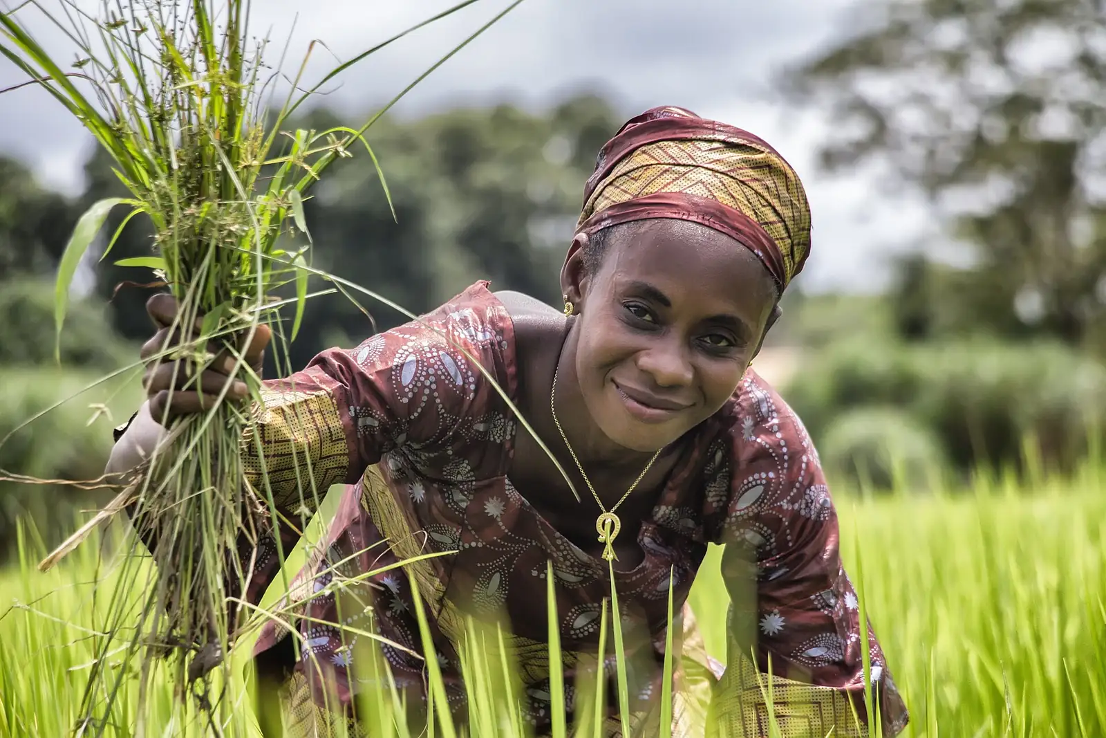
Farmers
Follow your plots, get advice at the right time and sell at a fair price, from a modest phone.

We design and host our own models — no reliance on third-party AI — and put them to the test of the real world. Agriculture is our first vertical, not our only one.
Stable conditions · no stress detected
Proven science first; AI second — never the other way round.
Our models are built and hosted in-house, trained on vetted sources and designed to run where the network fails. They open up to new fields as the ground validates them.
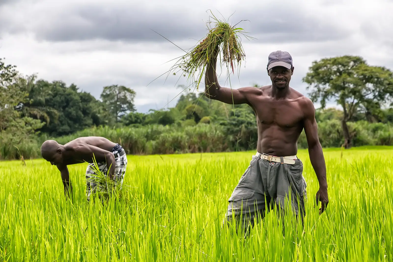
Our first vertical in service: satellite monitoring of plots, an AI agronomist that answers even off-grid, market prices verified by a network of collectors, field sensors. Designed for Guinea, in five languages, free.
An agent that reasons: it searches vetted sources, cross-checks and answers — or refers to an expert when doubt remains.
Learn more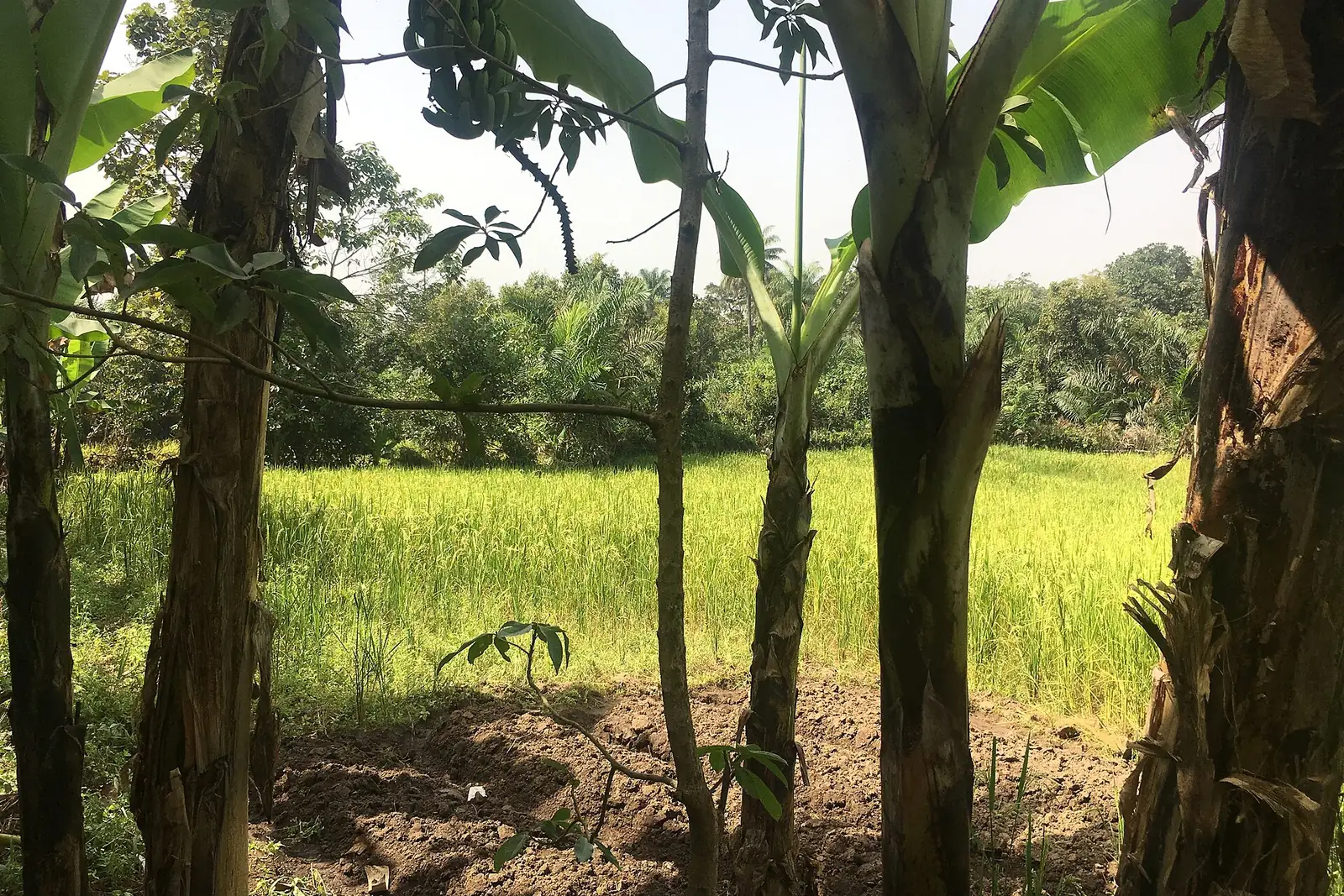
NDVI, soil moisture and weather tracking: spot crop stress before it gets expensive.
Learn more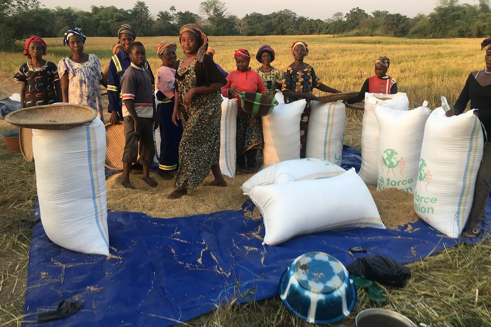
Buy and sell harvests with confidence, backed by secure escrow payment.
Learn more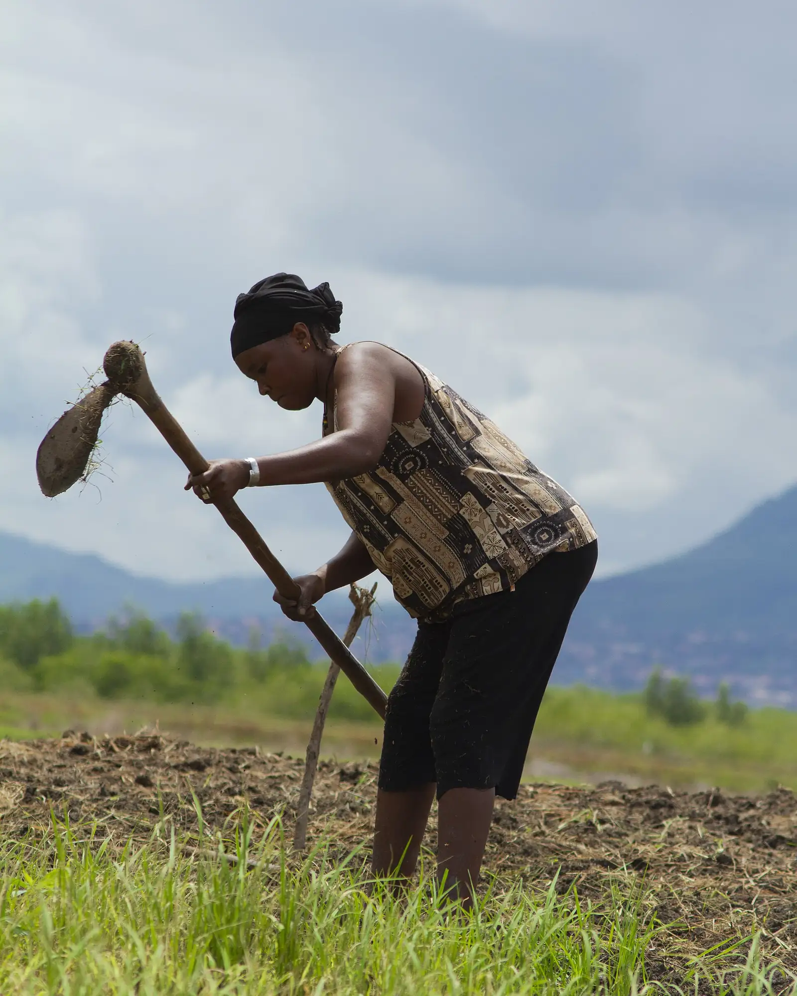
Built for low-network areas: everything works offline and syncs later.
Learn more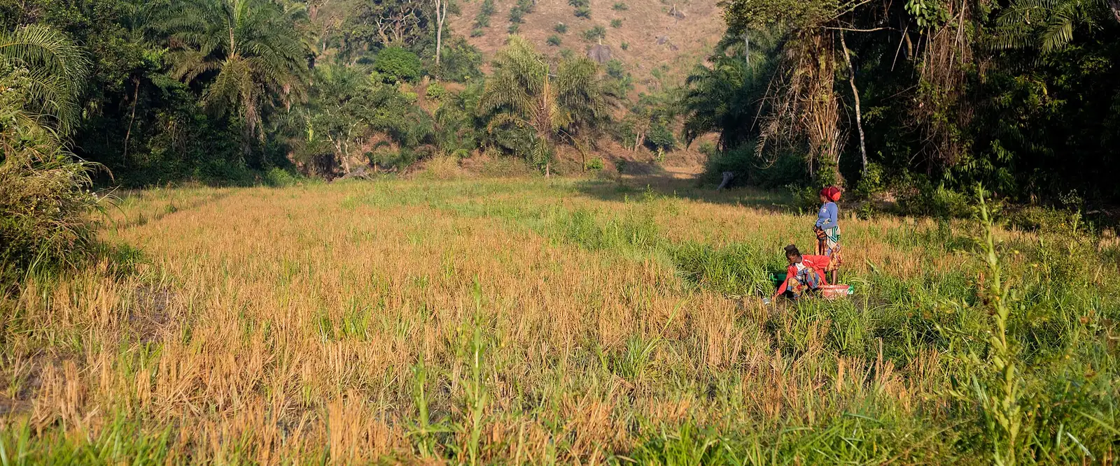
Follow your plots, get advice at the right time and sell at a fair price, from a modest phone.
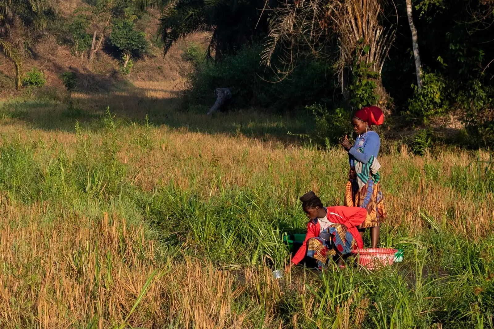
Manage several farms, share alerts and negotiate with verified prices.
Reliable field data and sovereign AI for agricultural programmes that can be measured.
The phone drops GPS points as you walk around the field and computes the area. No network needed: the boundary syncs later.
Satellite and your sensors watch the plot; the AI agronomist turns each signal into a concrete action for your current crop stage.
Verified prices to decide where to sell, listings to find a buyer, and a moderated forum to share what works in your region.
Cooperative, partner or institution? Get in touch.